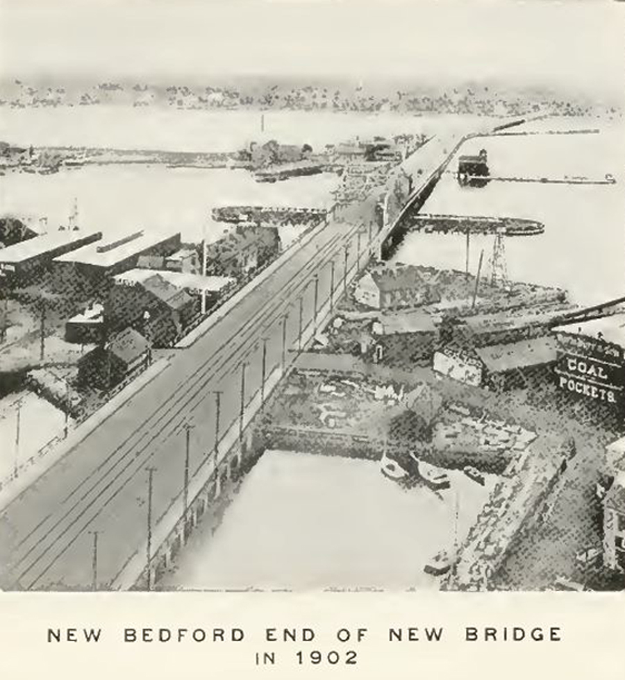
The quality of this picture is poor, but you can see the essential result of the reconstruction that took 2 years.
The picture from 1900 shows that the foreground section was not finished as it is in the picture.
About one third up on the left side of the image you can see the curved roadway that was used to connect to the mainland while the straight section was being built.
The area of buildings behind the road was where the first oil was refined into product.
|