If you have any public domain photographs of historical interest to donate, whether scanned or printed please contact the webmaster, Roger Chartier and your submission will be credited if it is displayed on this site.
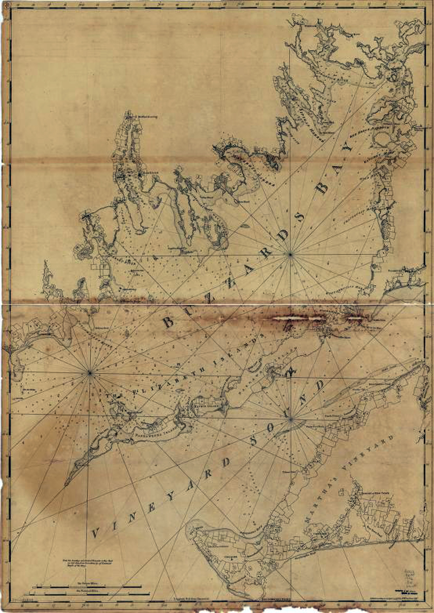
This older nautical chart shows no depths or problematic obstacles in any detail. This was created in 1776, two years before the British invaded New Bedford on September 5-6, 1778.
It. is quite innacurate but interesting for historical purposes. .